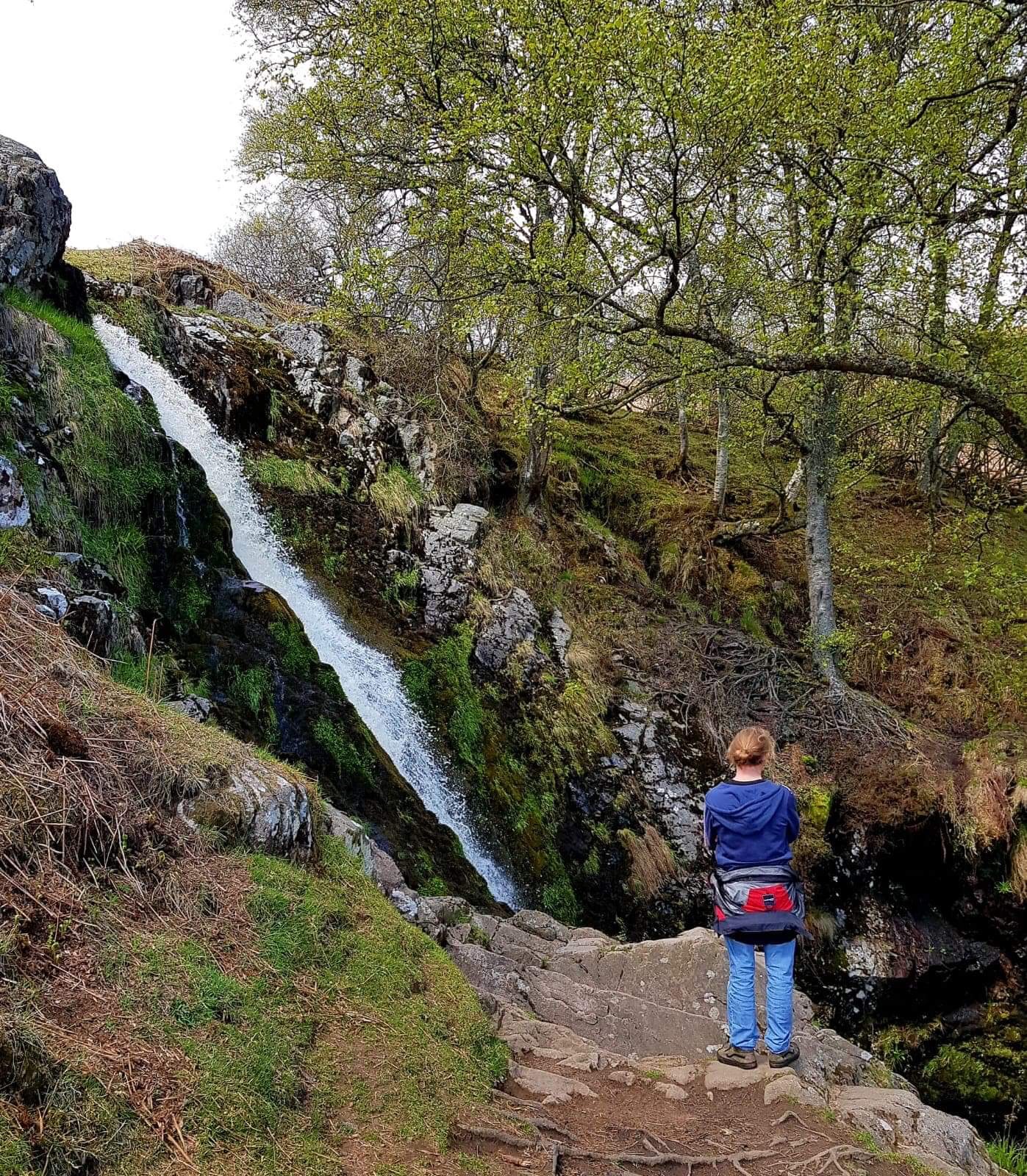
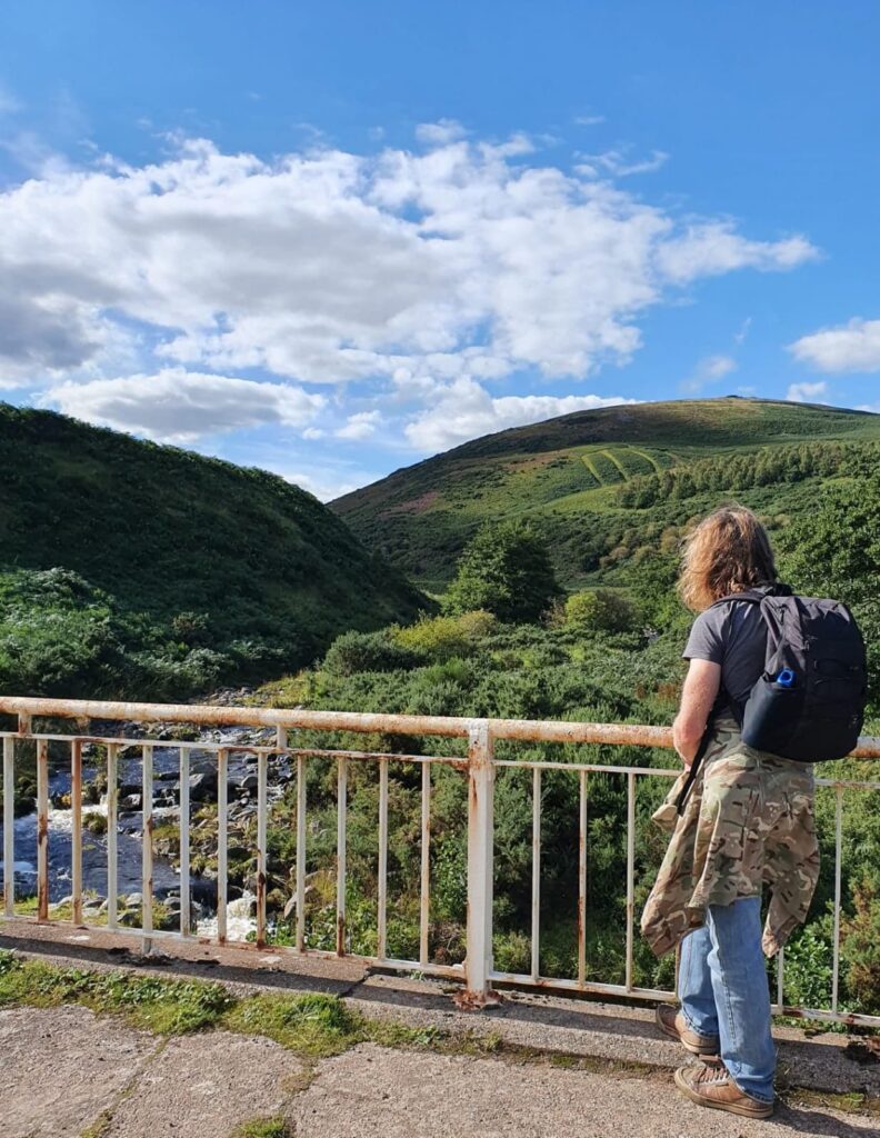
This is a lovely and relatively easy loop, for the most part, of a bit less than 5 miles, starting from the Carey Burn Bridge in the Harthope Valley, not far from Wooler. My friend and I walked the route on August Bank Holiday Monday between approx 15:30 and 17:30, in still conditions and delightful afternoon sunshine and, other than a few cars at the departure point when we set off, came across no other human activity. There’s the option for a bit of wild swimming towards or at the end of the walk in either the plunge pools below Carey Burn falls or under Carey Burn Bridge. Maybe think about taking a towel/ swimming gear. Some slight walking challenges in the last mile or so, sound walking shoes recommended.
If driving to the start point at Carey Burn Bridge (NT 976249) then, from central Wooler, go up Cheviot Street opposite the Coop and past The Anchor Inn (You can have fun devising tales as to why there’s a pub called The Anchor in a town with a distinct lack of boats, although none of those tales will be as tall as those about Red Lion pubs anywhere other than in Africa.) Take the first right about ¾ mile up Cheviot St and carry on about the same distance, passing through Yearle & Earle Farms at a bend, then on about another ¼ mile to Middleton Hall where you take a sharp right. This road takes you up a steep hill and past a farm at the crest, both called Skirl Naked, before dropping steeply again into the start of the Harthope Valley. At the bottom of Skirl Naked Hill you can park on the wide grassy verge to the right, just before the road crosses Carey Burn Bridge.
Starting the walk, cross the Carey Burn Bridge then take the signed footpath to Broadstruther immediately to the right by the farm shed. This climbs quite steeply at first, up the side of Snear Hill and past a pine plantation on the left. It’s worth a mention at this point that in some parts of the surrounding hills, what were once much smaller footpaths and ‘trods’ have evolved (With the use of quad bikes for shepherding and the expansion of land management for game bird shooting.) into broader tracks. This is the case with the first half of this route. The ‘footpath’ is at first a hardcore track and then a quad track for most of the way to Broadstruther. It doesn’t at all detract from the beauty of the surroundings and makes for easier wayfinding to an extent, although my friend and I, using a rather dated map, were head-scratching at a couple of points because some previously used paths marked on maps are slowly being obscured as walkers use the newer and more obvious routes which don’t always follow exactly the same course! Little direction is needed though. Keep on the most obvious track when you come to a gate after the climb. As it gently descends there’s a small copse of trees on the left hand side of the next hill that the route skirts. Before long you come to a track junction. (NT 948249)
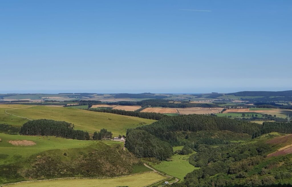
Across the decline of Hazelly Burn and the open moor in front you can see Broadstruther, for a long time nothing but a weather-beaten ruin, but now a renovated and spruced up dwelling sitting in solitary splendour amidst the breathless nothingness. On a nice day that is! Seasoned fell runners familiar with the area might also be breathless at Broadstruther, it being the first of several checkpoints on the region’s most renowned and long running race, The Chevy Chase, a 20m loop from Wooler YHA taking in Cheviot and Hedgehope summit- and most of the remainder of this walk route but in the opposite direction.
This track junction point is a good example of where deterioration of the original footpath has occurred though because formerly the trod to Broadstruther would’ve gone in near enough a straight line across Hazelly Burn and the moor to the buildings. Now that route has been all but obscured as most traffic, on foot or otherwise, takes the right turn at the junction, dipping into the Hazelly Burn ‘valley’ and follows the track.
Following said track and going so far as Broadstruther itself would add about ½ to ¾ mile on the overall route distance first mentioned and it’s just an out and back section from the Hazelly Burn crossing. That crossing is a wooden footbridge near some stone sheepfolds a little further down the track after bearing right at the junction. The track goes through a ford. My friend and I didn’t extend to Broadstruther, instead turning near the confluence of Hazelly Burn becoming Broadstruther Burn at a second wooden footbridge a little further ahead and visible from the one over Hazelly Burn.
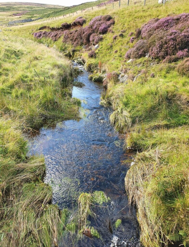
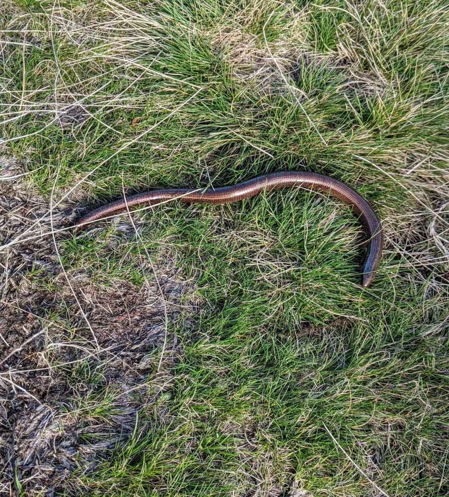
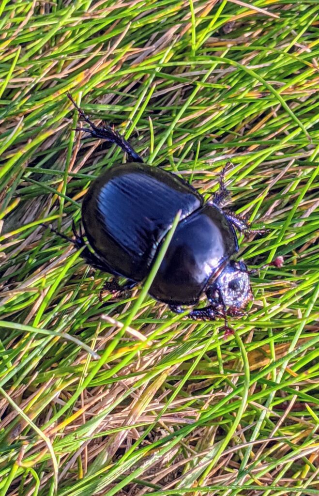
Thereafter a lovely stretch of footpath follows the course of the Broadstruther Burn valley downstream, with the burn to the right. The path passes through an area of small rowans which were aflame with berries, and a growth of well established broom bushes which I imagine would look amazing when in bloom. We saw a slow-worm basking on the path and numerous big black beetles scurrying. The grassy path descends to the confluence of Broadstruther Burn becoming Carey Burn and crosses another wooden footbridge at a pine plantation. A little further on keep bearing right with the Carey Burn immediately to your right rather than heading up the hill on the path between the trees.
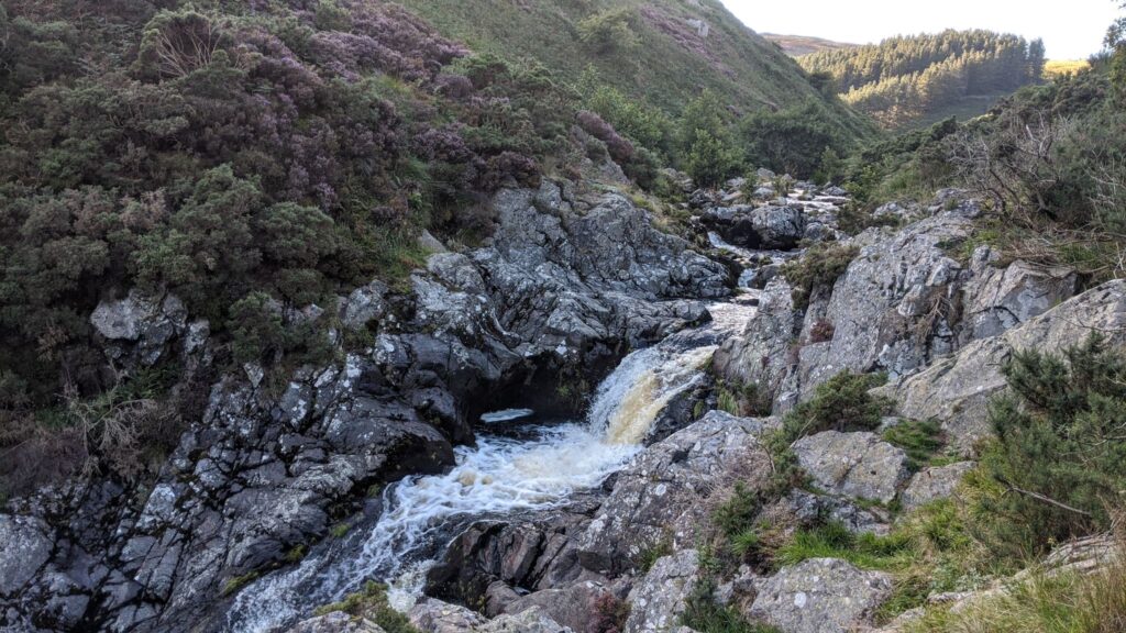
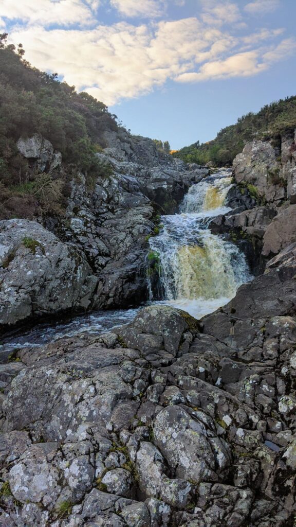
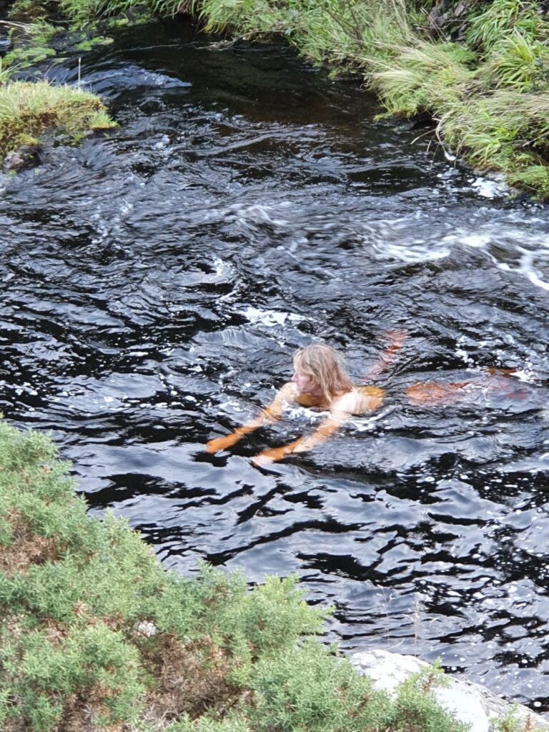
This last stretch of the looping route, within the Carey Burn Valley and down to the bridge again, is a joy, although not without minor challenges. It’s simply a matter of following the path downstream, keeping the burn to your right. The first part of the way, exiting the area bordered by the pines, can be a bit squishy underfoot. Thereafter, approaching and in the area of the waterfalls, the track is closer to the water and involves a little clamber here and there on some stony sections and caution where it is narrow. Part of the way also passes through some gorse, perhaps a little more grown-in over the path than usual this year with reduced footfall. Further downstream from the falls there is another stony section with skree from the valley side littering the path. These are all obstacles quite easily navigable with care and attention though and well worth it for a pause to admire the falls en route which cascade about 20m within a small rocky gorge. I couldn’t resist a quick dip in one of the pools beneath to cool off and freshen up. Further downstream as the valley widens the path becomes grassy and easy going for the last stretch toward Carey Burn Bridge again.